Who we are
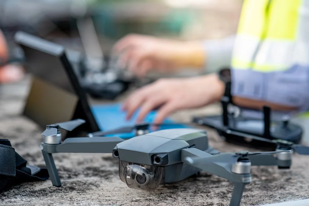
Skymetric Imaging provides photogrammetry, mapping, FPV fly-through videos, and 360° virtual walkthroughs. We capture and process spatial data to deliver accurate visual and measurable outputs for construction, real estate, and infrastructure clients. Services are project-based and delivered digitally.
Contact us
Interested in working together? Fill out some info and we will be in touch shortly. We can’t wait to hear from you!